USGS Unveils Nationwide Geologic Map Version 2.0, Enhancing Resource Access and Hazard Monitoring
September 3, 2026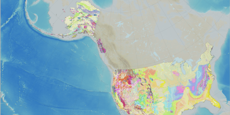

The USGS announces Version 2.0 of the National Cooperative Geologic Map now covers all 50 states and most U.S. territories, enabling standardized geologic data viewing and interaction via the National Geologic Map Database interface.
Officials emphasize that geologic maps are essential for accessing resources, achieving energy independence, monitoring hazards, and guiding planning across communities and industries.
Version 2.0 provides age, material, and rock-type data to support hazard monitoring, groundwater characterization, resource exploration, and land-use planning in mapped regions.
Wisconsin’s geologic map was integrated within minutes after coordination with the Wisconsin Geological and Natural History Survey, highlighting the rapid updating enabled by GeMS and state partnerships.
Ongoing funding and updates come from the USGS National Cooperative Geologic Mapping Program, with future state mappings fueling continued improvements and version expansions.
The effort aligns with broader goals of strengthening the American economy, energy and mineral resource development, hazard assessment, and national resilience by improving access to geologic information.
Version 2.0 expands mapping to Alaska, Hawaii, and U.S. territories, detailing geography and resources, with Alaska’s remote, complex regions and Hawaii’s volcanic areas cited as key examples.
The map interface, created by the USGS National Geologic Map Database, offers public access through the National Geology portal, plus direct data downloads and ArcGIS Online, broadening usability beyond specialists.
The update builds on Version 1.0 from 2025, demonstrates rapid scalability using GeMS—the standardized data format since 2020 developed with the Association of American State Geologists.
Summary based on 1 source