New Dataset Unveils Over 1,000 Hidden Coral Reefs in Northern Australia
April 19, 2026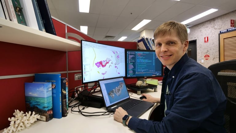
The Marine and Coastal Hub project, led by the Australian Institute of Marine Science in collaboration with the University of Queensland, produced a new reef dataset by overlaying hundreds of satellite images to enhance reef signals.
Researchers identified and mapped more than 3,600 coral reefs and about 2,900 rocky reefs, delivering the first comprehensive view of northern Australia’s reef boundaries.
The reef belts extend from Houtman Abrolhos in Western Australia to western Cape York in Queensland and had largely been overlooked in conservation and development planning before this project.
Funding for the initiative came from the Australian Government under the National Environmental Science Program.
The project aims to bolster marine conservation and planning by providing detailed reef geography and boundaries for northern Australia.
Digitisation and classification required about 700 hours of work, and the findings show northern Australia hosts a reef quantity comparable to the Great Barrier Reef, though many reefs are smaller.
Mapping results and final datasets are publicly accessible via the AIMS eAtlas portal and the Australian Ocean Data Network (AODN).
Dr. Eric Lawrey noted that compositing multiple images over time reinforces reef signals by averaging water movement, revealing stationary reef structures.
Researchers mapped and revealed more than 1,000 previously uncharted coral reefs in northern Australia without fieldwork, using satellite imagery and image processing to detect reefs hidden in turbid waters.
Summary based on 1 source